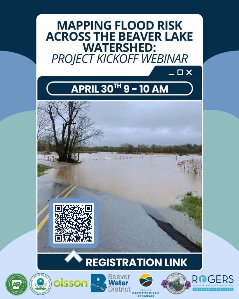
Mapping Flood Risk Across the Beaver Lake Watershed: Free Webinar
Join us and our partners on April 30th from 9 – 10 AM for a kickoff webinar introducing a new flood modeling project for the Beaver Lake watershed. This effort will develop a two-dimensional model to better understand how stormwater moves across the landscape and identify areas most vulnerable to flooding. During this session, we’ll share the project’s goals, approach, and how it builds on existing data and local knowledge. We’ll also discuss how the model will support watershed planning and lead to the development of a user-friendly mapping tool.
This free webinar is an opportunity to learn about the project, ask questions, and hear how this work can help inform future planning and flood resilience efforts across the watershed. To register, click HERE.