Maps
Water Quality Monitoring
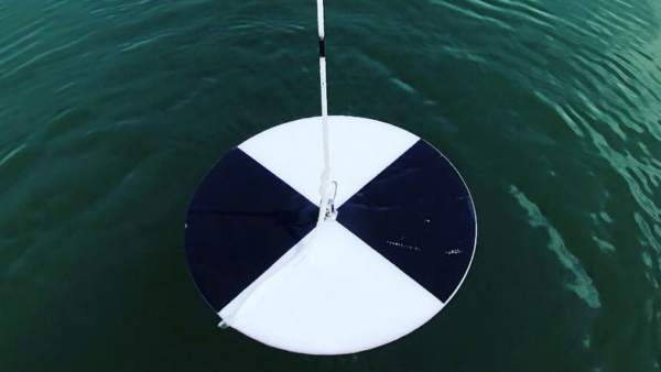
Water quality monitoring is an important part in protecting and enhancing the water quality in the Beaver Lake watershed. Explore this map to learn more about the many water quality monitoring sites within the watershed. This map includes data on USGS stations and US EPA 303d list segments.
Click the photo below to view and interact with the map.
Water Distribution
Beaver Lake provides drinking water to 1 in 6 Arkansans. Protecting the source of this drinking water is imperative as Northwest Arkansas grows rapidly to meet the demand of more people and businesses in the area. Explore this map to learn more about where the water from Beaver Lake is distributed.
Click the image below to view and interact with the map.
Land Use
Land use plays an important part in the water quality of the Beaver Lake watershed. The Alliance works hard to address specific concerns with each land use type through work with landowners and partner organizations. This map includes data on developed land, forested land, pastures, wetlands, and public glades. Maintaining a balance between developed land and the other land use types will be important as Northwest Arkansas grows.
Click the image below to view and interact with the map.
Floodways & Floodplains
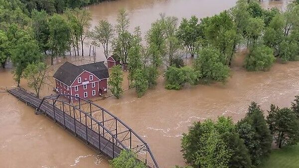
Floodways, floodplains, wetlands, and hydric soils are important for addressing storm events. These areas can allow for absorption and peak stormwater flow reduction, reducing the negative impacts of flooding. It is important to develop carefully in these areas to reduce flooding and the risk of damage to homes, businesses, and transportation infrastructure.
Click the photo below to view and interact with the map.
Unpaved Roads
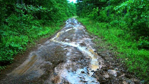
Because sediment is the number one pollutant to Beaver Lake, unpaved roads are important to address in the rural areas of the Beaver Lake watershed. Best management practices on unpaved roads can protect water quality by reducing the amount of sediment entering waterways, protecting fish and wildlife habitats, and improving the quality of life for the many residents that rely on these roads. Explore this map to learn about the unpaved roads in the Beaver Lake watershed.
Click the image below to view and interact with the map.
